Severe storms threaten upper North Island
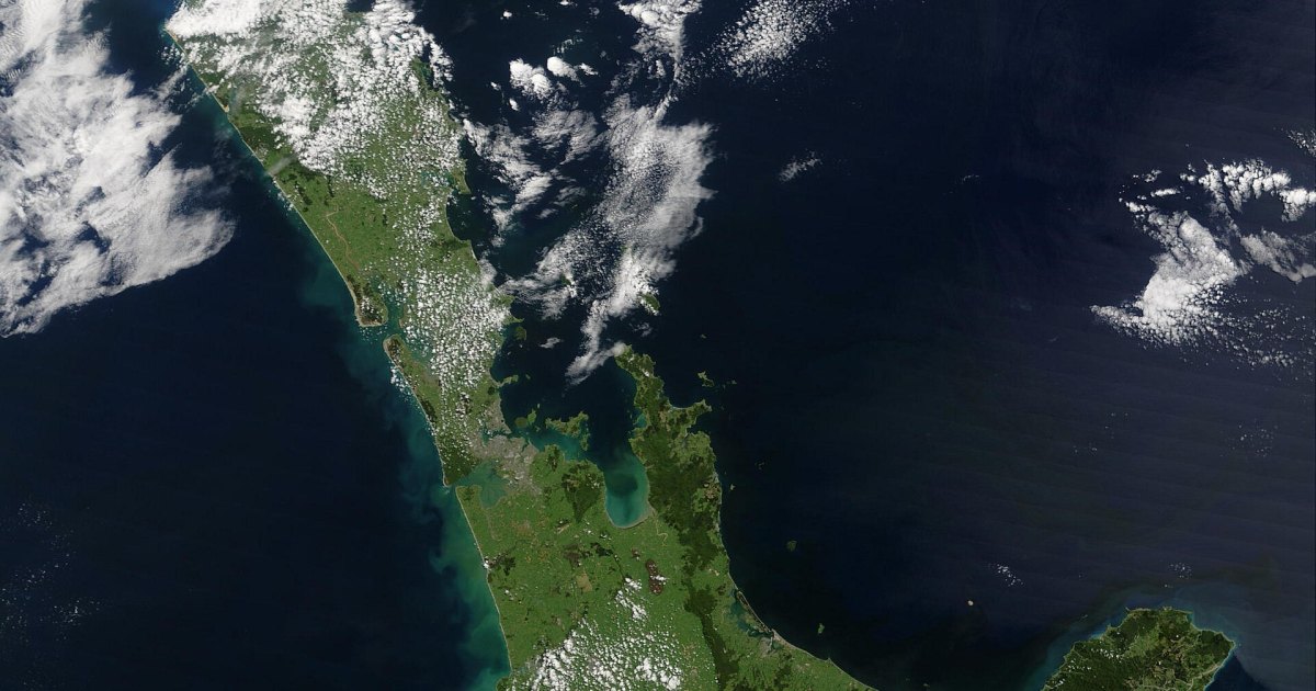
MetService has issued a series of severe weather alerts across the upper North Island as a convective weather system brings the threat of flash flooding and landslips to the region. The warnings, which include both heavy rain watches and severe thunderstorm alerts, cover a broad area stretching from Northland down to Taranaki and the eastern ranges of Gisborne. Authorities are warning of hazardous driving conditions and poor visibility as intense rainfall is expected to persist through the night and into the early hours of Wednesday.
Impact of intense rainfall on local infrastructure
The primary concern for residents in affected areas is the potential for rapid surface flooding and slips, particularly in regions near narrow valleys, rivers, and streams. MetService meteorologist Paris Marshall noted that rainfall intensities could reach between 25 and 40 millimeters per hour during the peak of the storms. These localized downpours are difficult to forecast with precision, creating unpredictable risks for infrastructure. Residents are advised to clear gutters to manage water runoff and to monitor local council updates for specific safety instructions as conditions evolve.
Regional distribution of weather warnings
The severe thunderstorm watch remains in effect until 2:00 am, covering Northland, Auckland, Great Barrier Island, and the Coromandel Peninsula. Simultaneously, an orange heavy rain warning is in place for the Bay of Plenty east of Whakatāne and the ranges of Gisborne, spanning a 23-hour period that began at 11:00 pm. Other regions, including Taranaki and parts of the central North Island, are currently under heavy rain watches, with meteorologists indicating a moderate probability that these could be upgraded to more severe warnings if the weather intensifies. The system follows a series of overnight warnings for the Bay of Plenty, where lightning and heavy rain were recorded in Rotorua, Tauranga, and Whakatāne.
Meteorological conditions and expected outlook
The current weather pattern is characterized by rising warm, moist air, which creates a convective environment prone to sudden, heavy showers. This humidity is contributing to muggy conditions across the island, with overnight temperatures forecast to remain high, reaching 16C in Auckland and 18C in Napier. While the current instability is expected to cause widespread rain, the most significant impacts will likely be concentrated in smaller, localized areas. The unsettled weather is projected to begin easing on Wednesday, at which point temperatures are expected to return to seasonal averages. Motorists are urged to reconsider travel plans while heavy rain warnings remain active, as the combination of poor visibility and potential road obstructions poses significant safety risks.